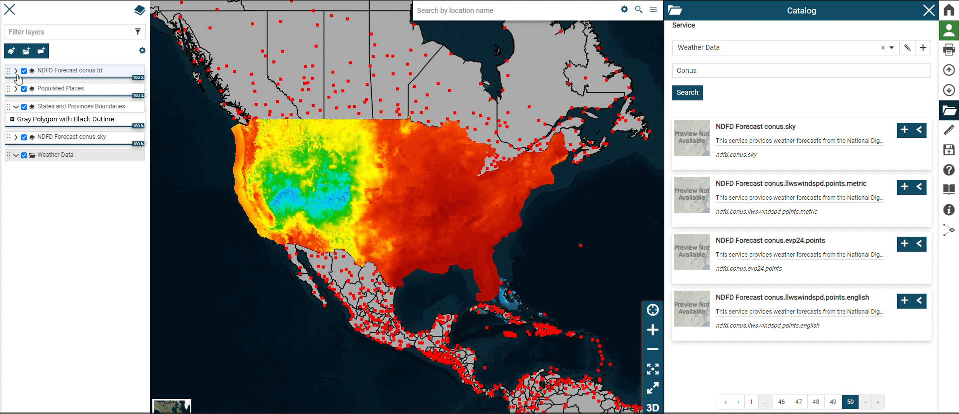
Over 300 US Critical Infrastructure layers directly from the DHS GMO. Integrated into Corespatial and ready for analysis
Having the right information at the right time can make all the difference
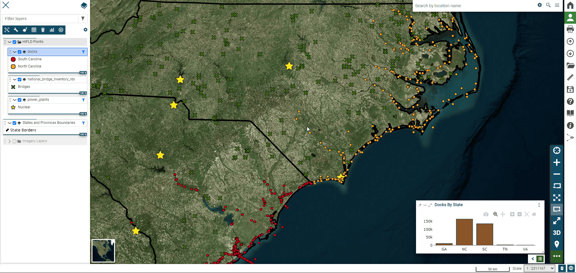
Risk Management
Effective risk management starts with understanding where vulnerabilities exist
HIFLD data is instrumental in identifying and assessing risks associated with critical infrastructure. By providing accurate, up-to-date information, HIFLD enables organizations to proactively manage threats and reduce risks before they escalate into emergencies.
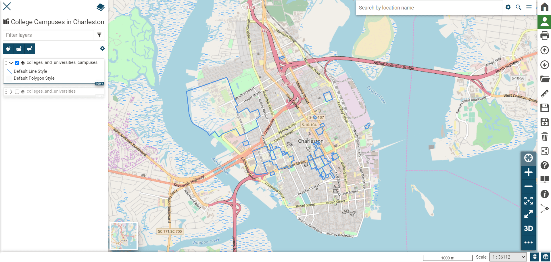
Site Suitability
Site Suitability Analysis for the Real Estate industry
By layering HIFLD datasets with basemaps and proprietary location data, users can conduct location intelligence and suitability analysis for everything from government facility siting to disaster recovery zones or temporary housing locations.
Situational Awareness
Situational Awareness for Domestic Operations (DOMOPS)
CoreSpatial HIFLD offers command-level visibility into key civilian assets—like fuel depots, communication towers, and government buildings—supporting military-civil coordination during National Guard, FEMA, or DHS-led missions.