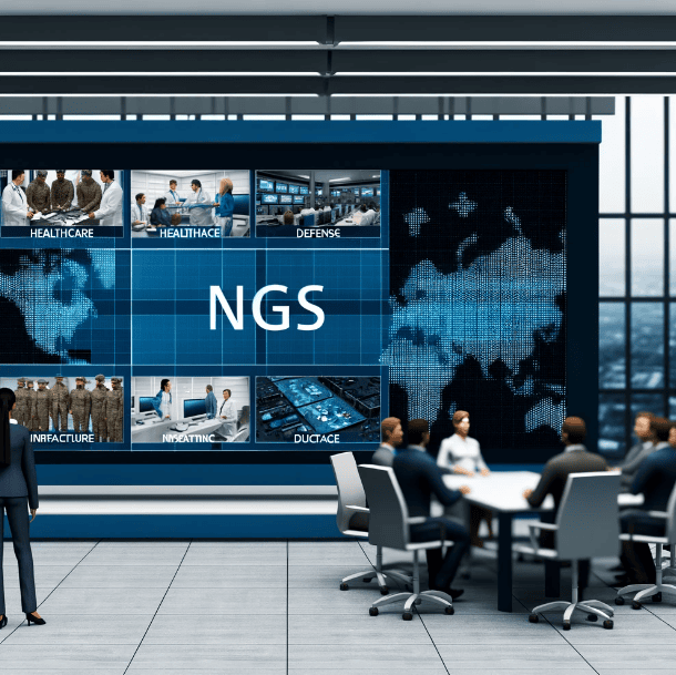
NGS’s geospatial solutions cater to all government sectors. We specialize in precise mapping, advanced data integration, and custom software development. Our tailored solutions promote success and innovation.

Defense & Intelligence
NGS offers a complete geospatial solution for defense and intelligence agencies. It combines CoreSpatial with custom development and support. This boosts situational awareness and aids in detailed mission planning by seamlessly integrating data and providing real-time tracking.
Climate Analysis
NGS offers advanced weather solutions with CoreSpatial. It fuses multiple meteorological data sources for enhanced insight. Meteorologists get real-time weather data and tailor-made Basemaps. This helps in accurate forecasting and analyzing climate trends.

Transportation & Logistics
NGS provides tailored geospatial solutions for transportation and logistics, improving route optimization and traffic management. We integrate CoreSpatial with specialized apps for route analysis and traffic data sharing. This boosts the efficiency of transportation agencies.
Agriculture
NGS boosts farming efficiency with geospatial solutions that enhance precision farming, resource management, and sustainability. We create custom apps for predicting crop yields and analyzing soil, using CoreSpatial for better data management and easy sharing.

Maritime

NGS offers a complete maritime solution with CoreSpatial and high-resolution basemaps. This system boosts naval operations and shipping logistics by supporting advanced navigation, threat detection, and resource management.
Civil Planning

NGS provides a complete geospatial solution for city and regional planning. It improves urban development, zoning, and utility management. CoreSpatial supports detailed data management, helping planners integrate and visualize census data, land use, and infrastructure details.
Emergency Management

NGS offers solutions for emergency management, helping agencies coordinate disaster responses effectively. With CoreSpatial, our systems enable real-time data integration, allowing teams to visualize crisis information quickly.
Law Enforcement
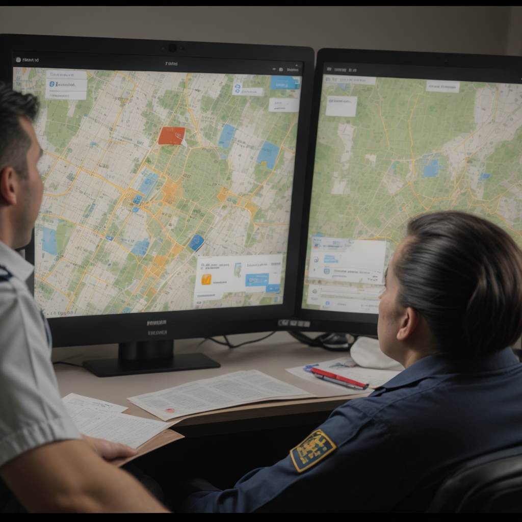
NGS boosts public safety for federal, state, and local law enforcement with CoreSpatial. Our system analyzes crime data in real-time and shares it securely across areas. High-resolution CoreSpatial Basemaps allow for accurate location tracking and incident mapping.