
High-Speed Satellite Imagery Delivery for SOF in INDOPACOM
Client: USSOCOM, as subcontractor to Valley IT. 2024 to present.
Overview
NGS implemented a high-resolution commercial satellite imagery pipeline for Special Operations Forces operating across the INDOPACOM area of responsibility. The system integrates CoreSpatial Server, Basemaps, and Map Manager to deliver a fully automated, high-speed, high-fidelity imagery dissemination workflow.
Challenge
SOF mission planners and analysts need rapid access to up-to-date imagery across dispersed, bandwidth-constrained environments. Traditional pipelines were too slow to keep pace with rapidly changing areas of interest (AOIs) and didn't easily support on-premise or tactical-edge deployments.
Solution Architecture
- Dynamic AOI targeting: customer-defined AOIs feed a custom tile-collection routine interfacing directly with Maxar's G-EGD services.
- Per-tile tracking & metadata optimization: sensor-footprint metadata ensures only new or updated pixels are pulled, minimizing redundant downloads and maximizing throughput.
- Automated dissemination: a periodic scheduler, also triggerable on demand for urgent requests.
- Cloud & edge integration: imagery cached in globally distributed cloud storage for low latency and replicated downstream to on-prem environments.
- Deployment flexibility: containerized edge components, full Kubernetes clusters for some, lightweight runtimes for others.
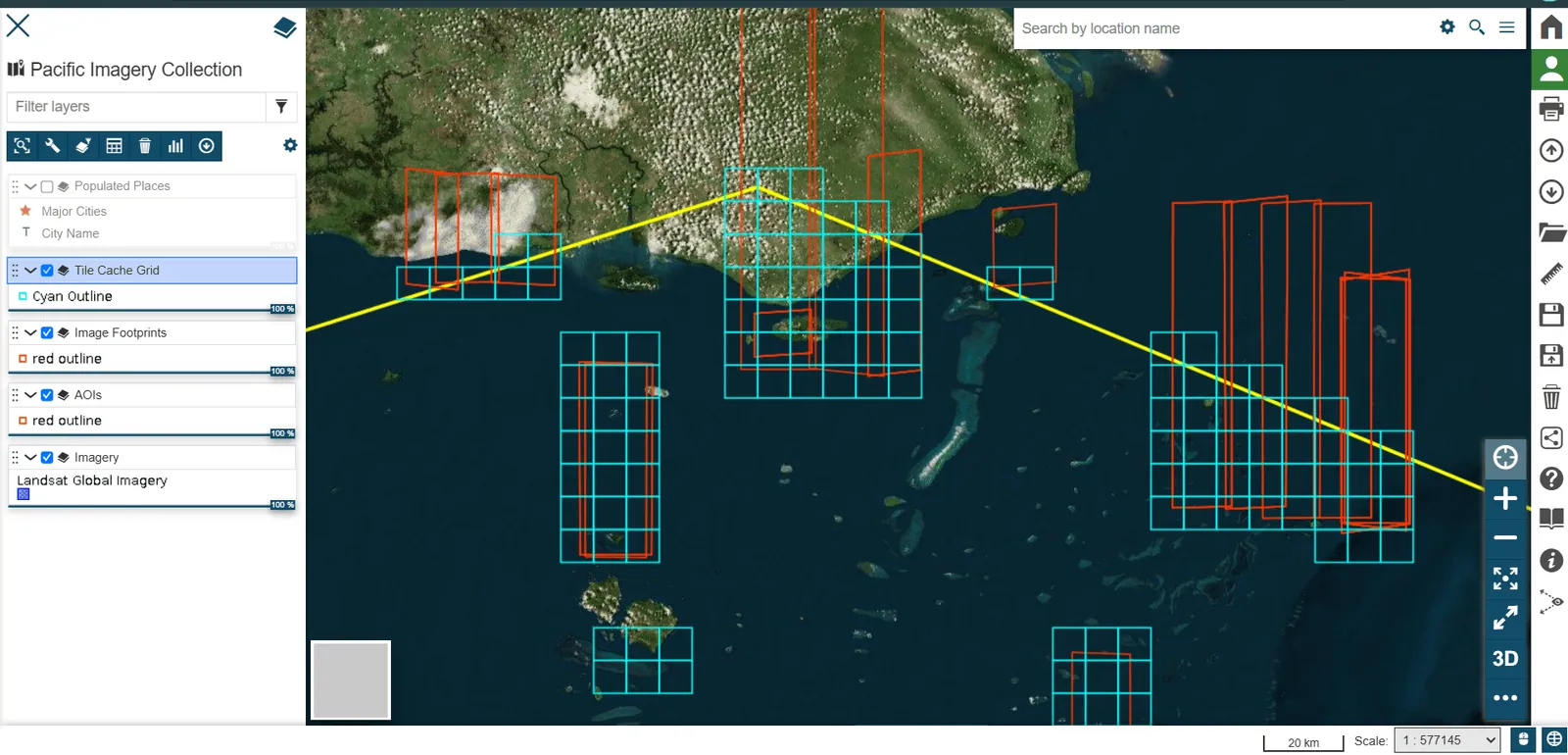
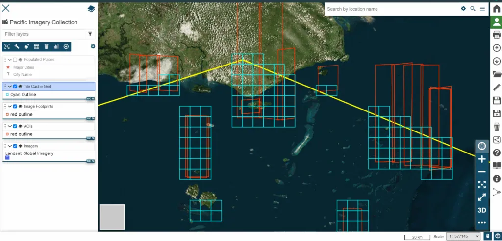
Visualization of tile collection progress in the south Pacific.
Results
- Delivery latency reduced by over 70% versus legacy processes.
- On-demand refresh so SOF elements always have the most current imagery in their AOIs.
- Flexible deployment from enterprise clusters to minimal tactical servers without loss of functionality.
- Enhanced resilience, a distributed architecture that continues operating under degraded network conditions.
Conclusion
By integrating CoreSpatial's Server, Basemaps, and Map Manager with custom NGS automation and Maxar's G-EGD data services, NGS has created a next-generation imagery delivery platform. The system accelerates situational awareness, improves mission planning accuracy, and provides SOF operators in INDOPACOM with the most current satellite imagery at the speed of relevance.
Case Study Gallery
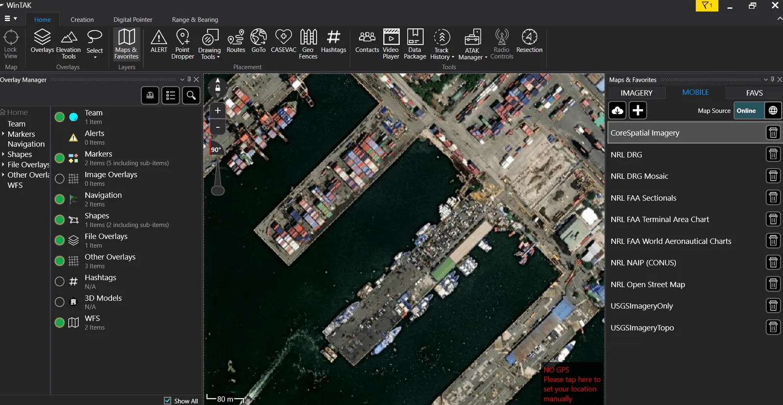
Tiles are immediately available within a multitude of different clients via OGC.
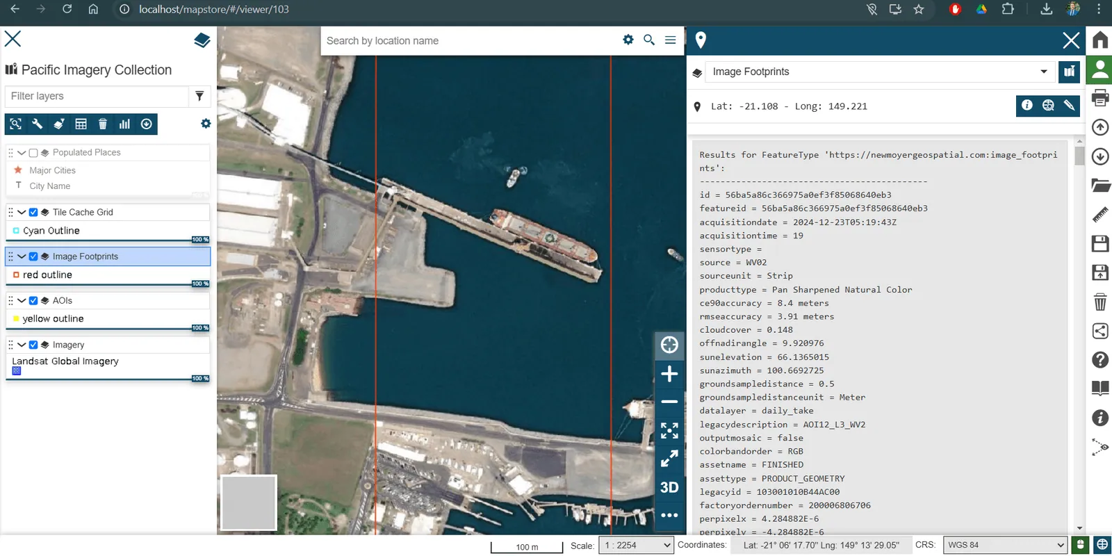
Attribution from sensor allows for optimization.
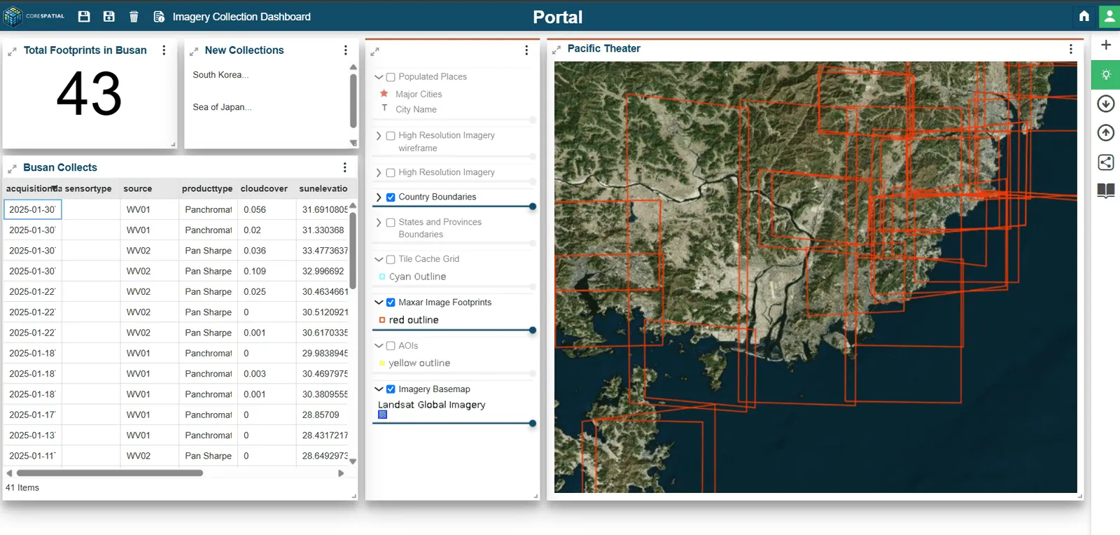
Dashboards allow analysts to focus on key statistics and track progress.