
Powering growth with scalable geospatial products and GIS services
Our flagship product, CoreSpatial, is a modular, enterprise-grade geospatial platform, backed by expert professional services that enhance performance, accelerate delivery, and drive measurable results.
CoreSpatial
CoreSpatial is NGS's modular, enterprise-grade geospatial platform built on trusted open-source technologies including GeoServer, GDAL, PostGIS, Cesium, and MapStore2. Designed for mission-critical environments, it provides fast, secure, and scalable mapping and data visualization for defense, government, and commercial organizations.
See the CoreSpatial platform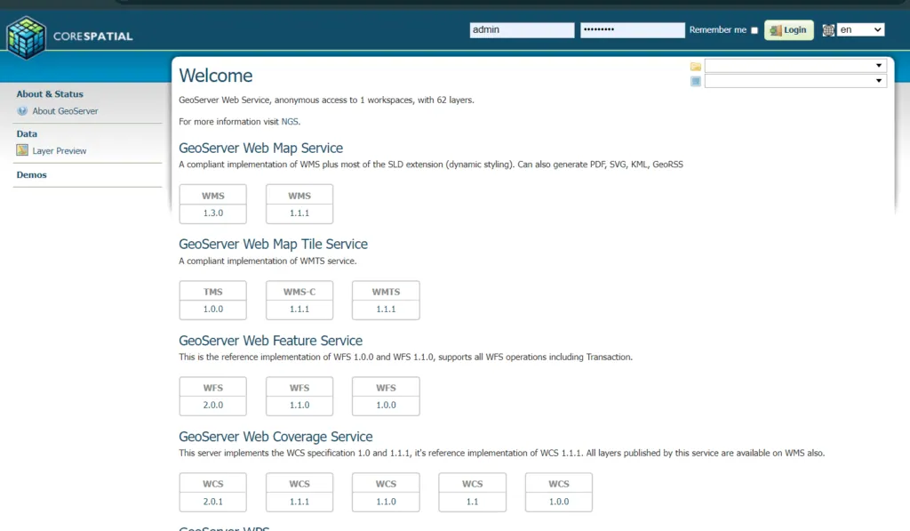
Supported CoreSpatial Products
- CoreSpatial Server: secure enterprise geospatial server
- CoreSpatial Basemaps: comprehensive digital basemaps
- CoreSpatial Map Manager: imagery management
- CoreSpatial HIFLD: infrastructure data layers
- CoreSpatial Portal: maps, dashboards & analytics
- CoreSpatial 3D: self-hosted streaming 3D & 3D Tiles
Flexible services for your mission's unique needs
Choose standalone capabilities or integrate them within the CoreSpatial suite for a seamless, end-to-end geospatial solution.
Agile Software Engineering
Secure full-stack engineering with embedded security and mission-readiness.
DevSecOps Delivery
Automated CI/CD, Kubernetes deployments, and hardened workflows.
Geospatial Experts
Spatial analytics, custom basemaps, and real-time geospatial systems.
Defense Systems Integration
Integration with C5ISR platforms including Link16, VMF, GCCS, and AIDE.
AI-Accelerated Development
Machine learning and automation to raise quality and speed timelines.
Open Standards & Interoperability
OGC- and DoD-compliant, vendor-neutral, extensible systems.