
Geospatial solutions, proven on real missions.
Each project brings unique challenges, conditions, and technical requirements. These case studies highlight how our team applies expertise, advanced technology, and practical problem-solving to deliver accurate, reliable results clients can trust for critical decisions.
Proven results on critical missions.
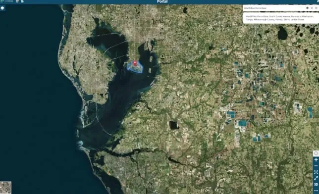
High-Speed Satellite Imagery Delivery
A high-resolution commercial satellite imagery pipeline for Special Operations Forces (SOF) customers operating across the INDOPACOM area of responsibility.
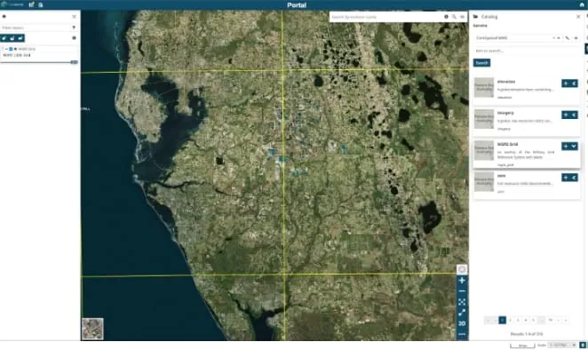
AIDE Core Geospatial Services
A standards-based, deployable stack providing enterprise basemaps, geospatial search, high-resolution imagery collection and mosaicing, and flexible OGC publishing.
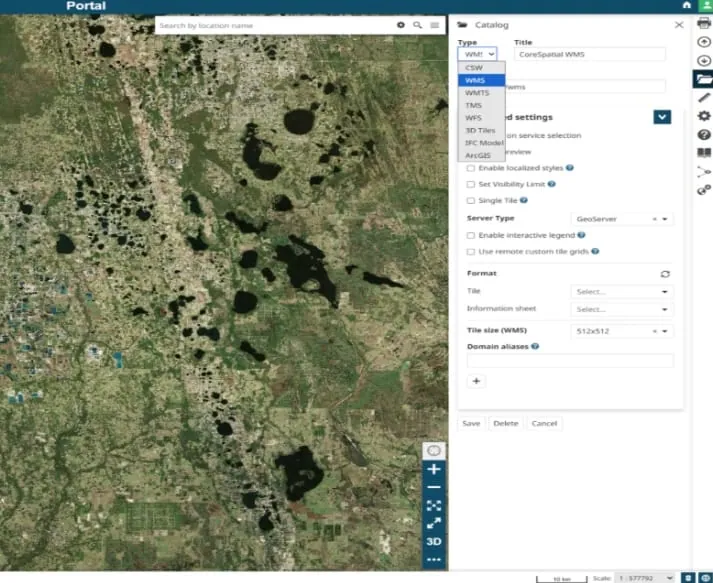
Real-Time Geospatial Integration (MedCOP)
A secure, real-time geospatial dashboard consolidating medical logistics, patient movement, and readiness data into a single operational view for the Defense Health Agency.