
Elevating GeoServer for secure, mission-grade operations
GeoServer is at the heart of modern geospatial applications, creating, sharing, and managing interactive maps and data over the web under OGC standards. CoreSpatial Server is NGS's hardened version, tailored to the rigorous demands of our clients across every industry.
Security by default, without sacrificing performance
CoreSpatial Server ships with a hardened security posture out of the box, keeping sensitive geospatial data protected. We optimize for high-volume, high-complexity operations, delivering rapid response times and robust data handling, now with FIPS 140 compliant GeoServer.
Read about FIPS compliance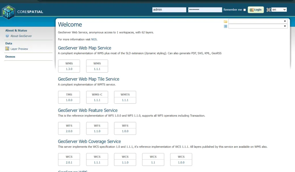
Enterprise GeoServer, engineered for the mission
Seamless Integration
Interfaces with modern mapping technologies including Google Maps, Google Earth, OpenLayers, and Esri ArcGIS, acting as a versatile bridge between raw geospatial data and actionable insights for web mapping, environmental monitoring, and strategic planning.
Comprehensive Support
Backed by extensive support and maintenance from NGS's team of geospatial experts, smooth, effective, and secure use across all applications, from initial setup to ongoing operations.
Committed to Open Source
Our commitment to FOSS is driven by our dedication to collaboration, transparency, and community-led innovation. These principles not only fuel our technological advances but also align with our mission to develop accessible, cutting-edge geospatial solutions. Our open-source commitment →
Proactive Security
Critical vulnerability updates tracked from CISA, with active mitigations, scheduled patching, and regular DISA-aligned vulnerability scanning.
Empowering GeoServer Innovation
Organizations can push the boundaries of geospatial technology, creating rich, interactive maps and data visualizations that drive decision-making. Our solution integrates, animates, and customizes data, underpinning innovative geospatial solutions for today and tomorrow.
A Bridge to Actionable Insight
Whether for dynamic web mapping, environmental monitoring, or strategic planning, CoreSpatial Server acts as a versatile bridge between raw geospatial data and actionable insights.
Now FIPS 140 compliant
CoreSpatial Server enables GeoServer to run in FIPS 140 compliant mode on both Red Hat Enterprise Linux (RHEL) and containerized environments, a key milestone for deployments handling Controlled Unclassified Information and mission-critical defense data across DoD, DHS, and state emergency-management systems.

Additional products
Want to see CoreSpatial Server live?
Our demo environment gives you a real look, OGC services, map layers, and all.